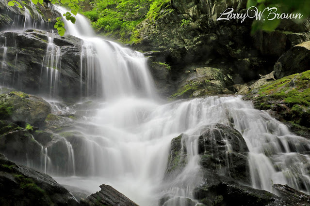
Many waterfalls are located within Shenandoah National Park’s boundaries; most have trails that will get you there, while others do not. My objective for this Web site is to showcase the significant waterfalls found within SNP, so there are several smaller waterfalls not included which may be referenced in publications or sites elsewhere, such as Hazel Falls, Big Rock Falls, Piney River Falls and Riprap Falls, to name a few.
This site is intended to be a pictorial and video reference to what I consider to be the best waterfalls in Shenandoah National Park, several of which are located off-trail. The use of a handheld GPS device is highly recommended for any off-trail trekking to waterfalls. It is also worth mentioning that Potomac Appalachian Trail Club (PATC) maps are a great resource for locating off-trail waterfalls which are generally not marked on USGS or SNP maps.
Keep in mind that unless rain has recently been plentiful, waterfalls may have minimal to no water flow. It goes without saying that no waterfall is nearly as impressive when its water levels are low. I have photographed the waterfalls included in this site over the course of several years, always after substantial rainfalls, many in the early spring, hence the vibrant greenery seen in most photos within this site.
Check back here periodically, there are several other off-trail waterfalls within SNP which I have yet to photograph. It’s all a matter of getting good rainfall totals in the green seasons and then doing the hikes.
 The 1st edition of my book about SNP's waterfalls: Guide To Waterfalls Of Shenandoah National Park is available online at Amazon. A reference to 36 waterfalls found along and off the trails within the 3 districts of Shenandoah National Park in Virginia. This guide provides 50+ full color photos plus hiking details and GPS coordinates for each waterfall.
This is a 6x9 paperback that will easily fit into a backpack or large coat pocket.
Also available online at WalMart, Target, Barnes & Noble, Books-A-Million and eBay.
Check out Episode 17 on Virginia Outdoor Adventures Podcast where I am the guest discussing my book 'Guide to Waterfalls of Shenandoah National Park' as well as a few other topics.
Some SNP waterfalls can be accessed via boundary trailheads which are located throughout all 3 districts in the surrounding counties of Shenandoah National Park. However this site was created to provide location directions from the trailheads that are located along the Skyline Drive. This approach allows for new and infrequent visitors who are not familiar with the park to find these waterfalls.
The waterfalls in this site are listed in order of their location from north to south along the Skyline Drive, beginning in the North District at mile marker 0, continuing through the Central District, and ending in the South District at mile marker 105.
All listed hikes are downwards, so the return trip will always be upwards and usually steep. Be fully prepared for any waterfall hike, and avoid the hike altogether if there is any indication of inclement weather. Mountain trekking may be exhausting for some, especially those not accustomed to physical activity, so know your limits. And know there is always a potential risk involved with wet rocks and saturated soil around waterfalls. Your safety is your responsibility. Know your physical abilities and limitations before taking on any waterfall hike in the park. Respect nature’s elements and leave no trace.
The 6 waterfalls located in Whiteoak Canyon
Although man has somewhat commercialized the Shenandoah wilderness with roads, overlooks, parking lots and trails, it is still a wilderness, and there are things that can, and will cause harm if you’re not alert. Poisonous snakes, poison oak and ivy, ticks, and bears are all abundant throughout the park, this is their home. Always stay alert and never become complacent in the wild.


